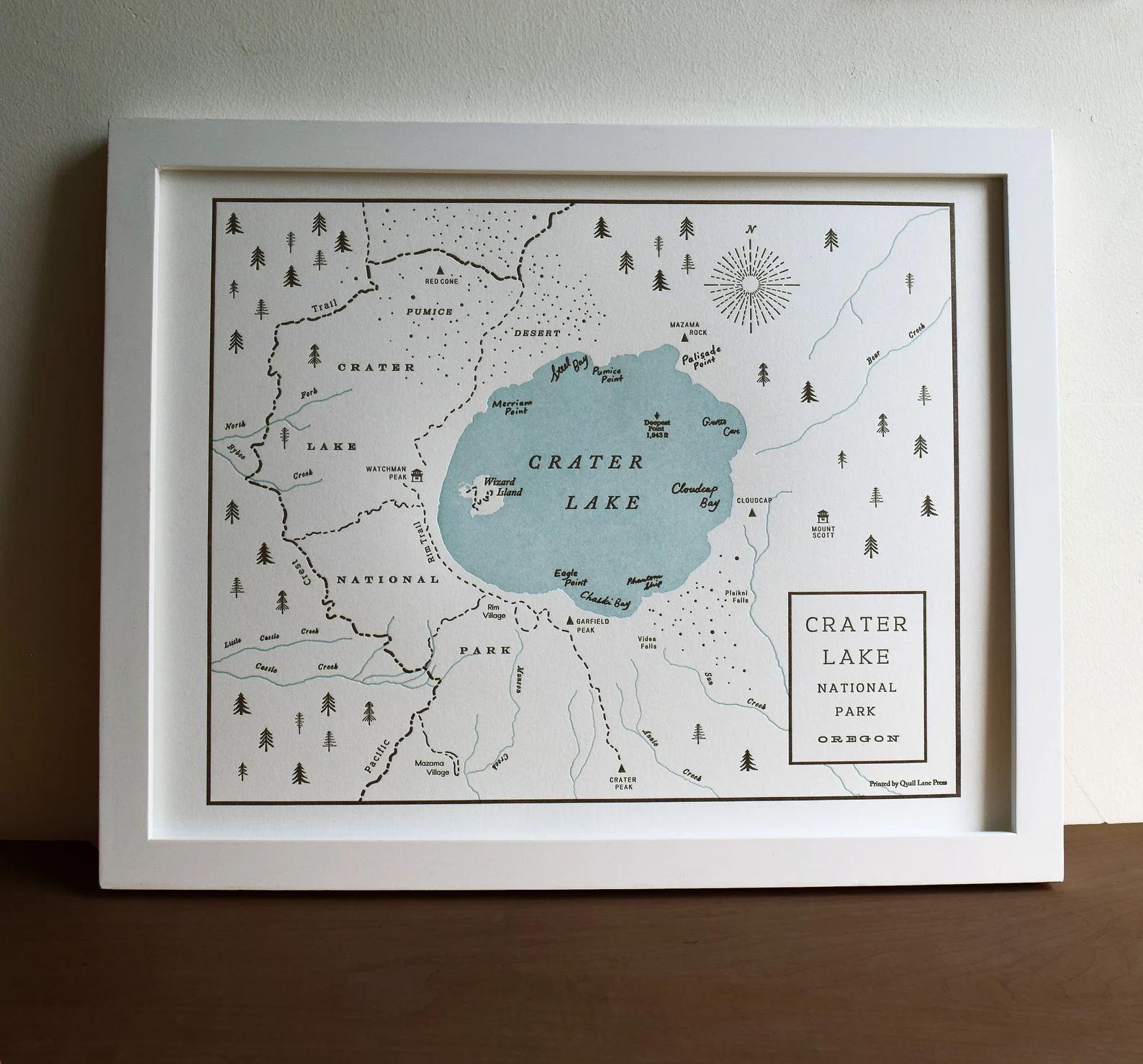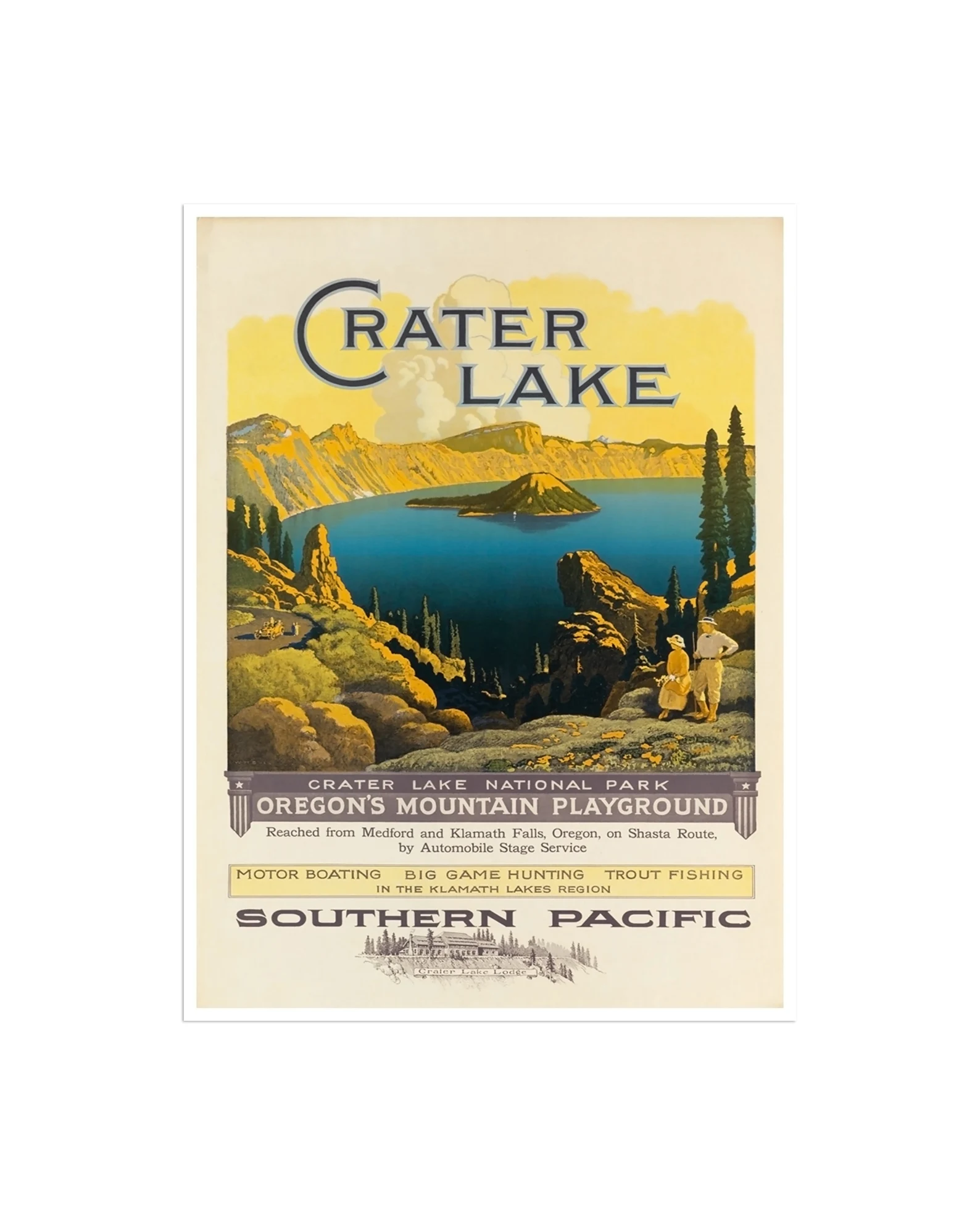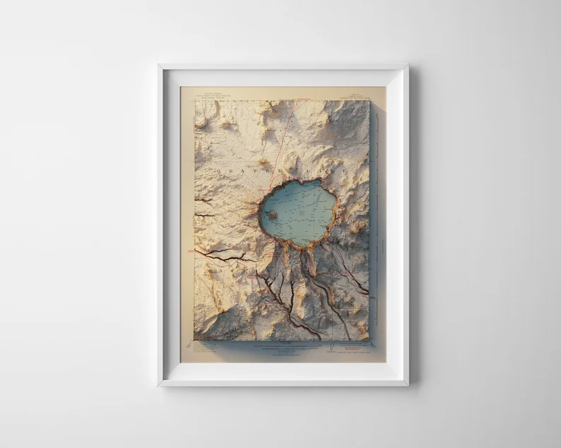
Crater Lake USGS Map
$39.00
This is a digitally rendered map (printed in 2D(*)) of Crater Lake, Oregon derived from a USGS geology/Department of the Interior map of 1911 and enhanced with digitally rendered shaded relief. Digital Elevation Data (DEM), obtained from the Shuttle Radar Topography Mission is processed and digitally rendered to create a highly detailed elevation profile (printed on a flat surface – note: these prints are NOT raised relief maps).
Prints are available in various sizes. As these images are high resolution renders with a high level of detail, large prints on professional photographic paper, metal or acrylic are available and provide stunning results!
Share
Related products


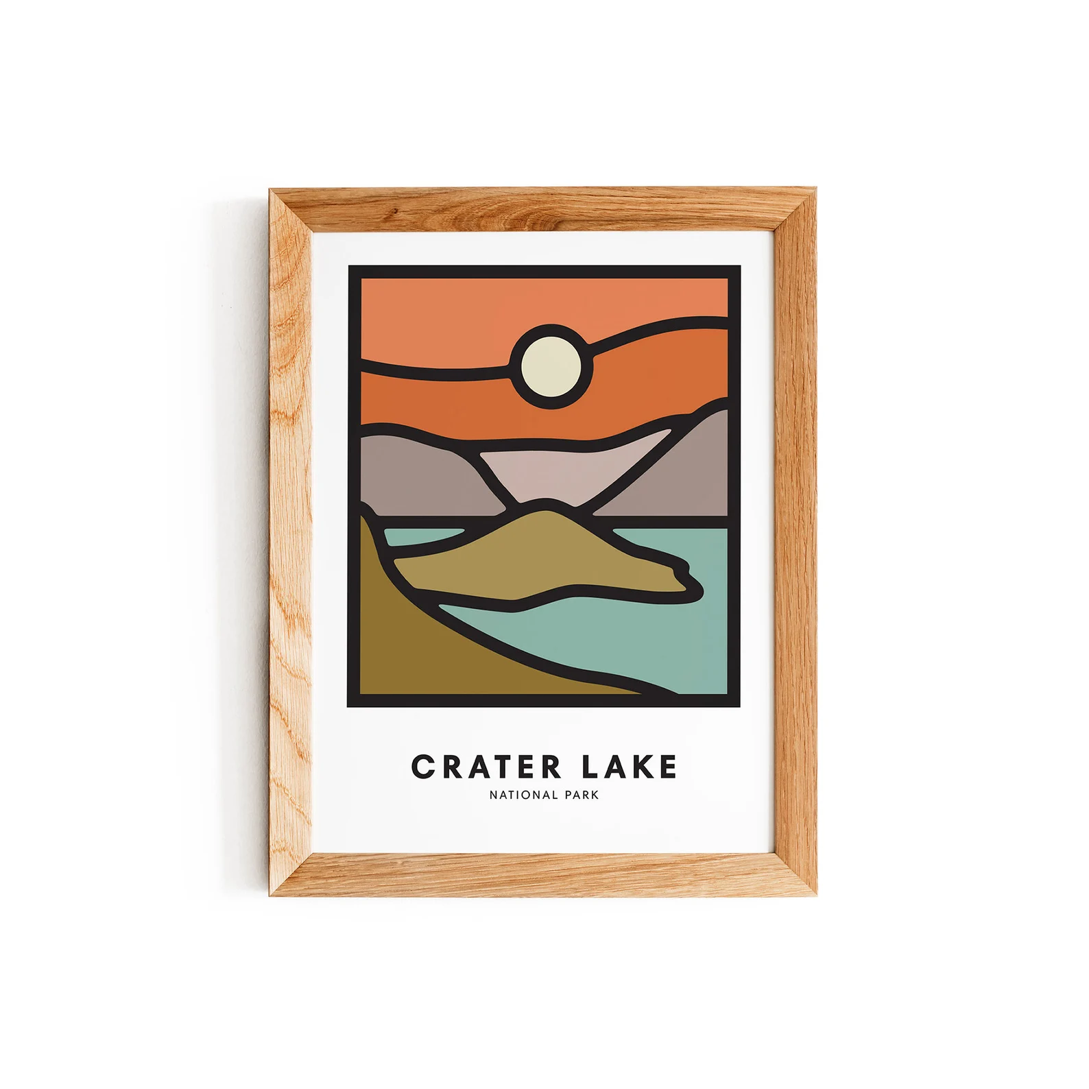
Oregon Field Guide Print
$35.00